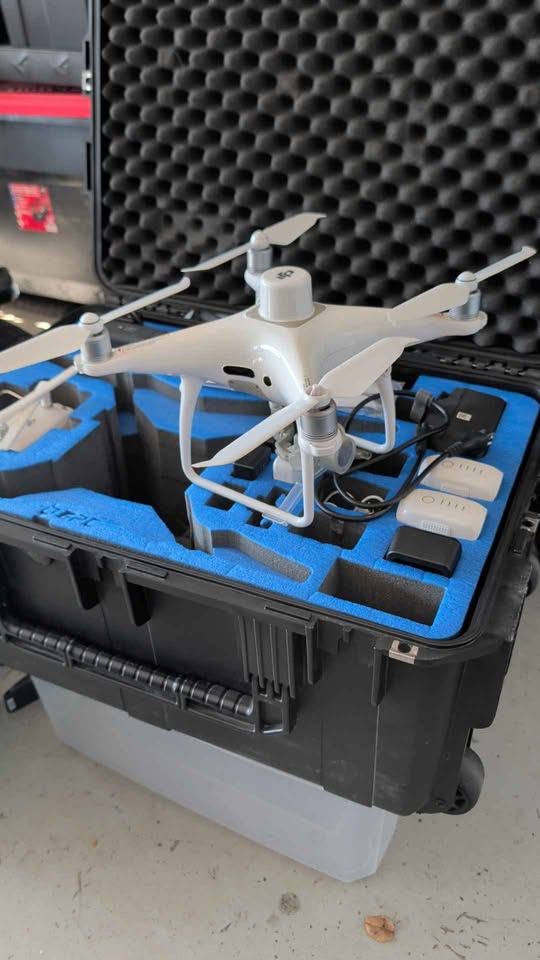
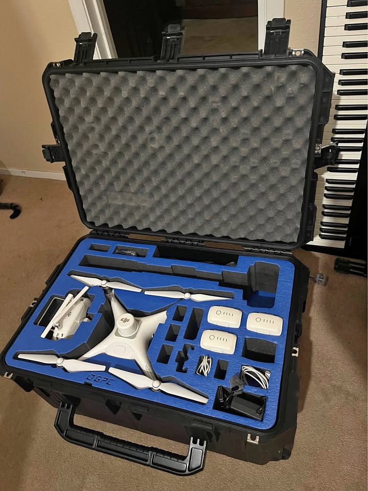
DJI Phantom 4 RTK + D-RTK 2 Mobile Station Combo
Description
The DJI Phantom 4 RTK (P4R) is a high-precision drone for surveying and mapping, and the D-RTK 2 Mobile Station is its compatible ground base station that provides centimeter-level positioning accuracy by receiving satellite signals and transmitting correction data to the drone via OcuSync, forming a complete RTK system for reliable, accurate flight and data collection, especially when set up over a known point or used with NTRIP services for industrial applications like agriculture or inspections.
Phantom 4 RTK (Drone)
Key Features: 1-inch, 20MP CMOS sensor, 4K video, mechanical shutter (eliminates rolling shutter blur), obstacle avoidance, long range (4.3 miles).
Accuracy: Achieves high precision with RTK, capturing data for detailed mapping.
D-RTK 2 Mobile Station (Base Station)
Function: Acts as a ground reference station, providing Real-Time Kinematic (RTK) corrections to the P4R.
Connectivity: Supports 4G, WiFi, LAN, and OcuSync, connecting to satellite constellations (GPS, GLONASS, Galileo, BeiDou) for robust signal reception.
Durability: Rugged design (IP65) for industrial use.
Workflow: Can be set up as a base over a known point or used as a rover to gather precise coordinates, supporting both RTK and PPK workflows.
How They Work Together
Setup: The D-RTK 2 is set up in the field (ideally over a known point), while the P4R controller connects to it.
Data Correction: The base station sends correction data to the drone in real-time, allowing the P4R to know its exact position to within centimeters.
Mission Execution: Used with flight planning apps (like DJI GS RTK), the system executes missions with highly accurate geotagged images.
Why Use Them Together?
Survey-Grade Accuracy: Essential for mapping, inspection, and agriculture where precise location data is critical.
Reliability: Offers consistent performance and can be used in various conditions, outperforming NTRIP in some scenarios due to direct connection.
OTHER LISTINGS FOR THE SAME MODEL
Sort by
DJI Phantom 4 rtk 4 batteries and hard case
$2,800
Good
THIS LISTING
DJI Phantom 4 RTK + D-RTK 2 Mobile Station Combo
$6,500
Like New
ASK THE SELLER
No questions yet. Be the first to ask!
PROPELLERS AI Assistant - Ask anything about DJI Phantom 4 RTK
Question about a technical detail? Get it answered right here, right now, by the For Propellers AI
How far can you go with one charge?How many hours can you fly with one charge?What accessories are included?